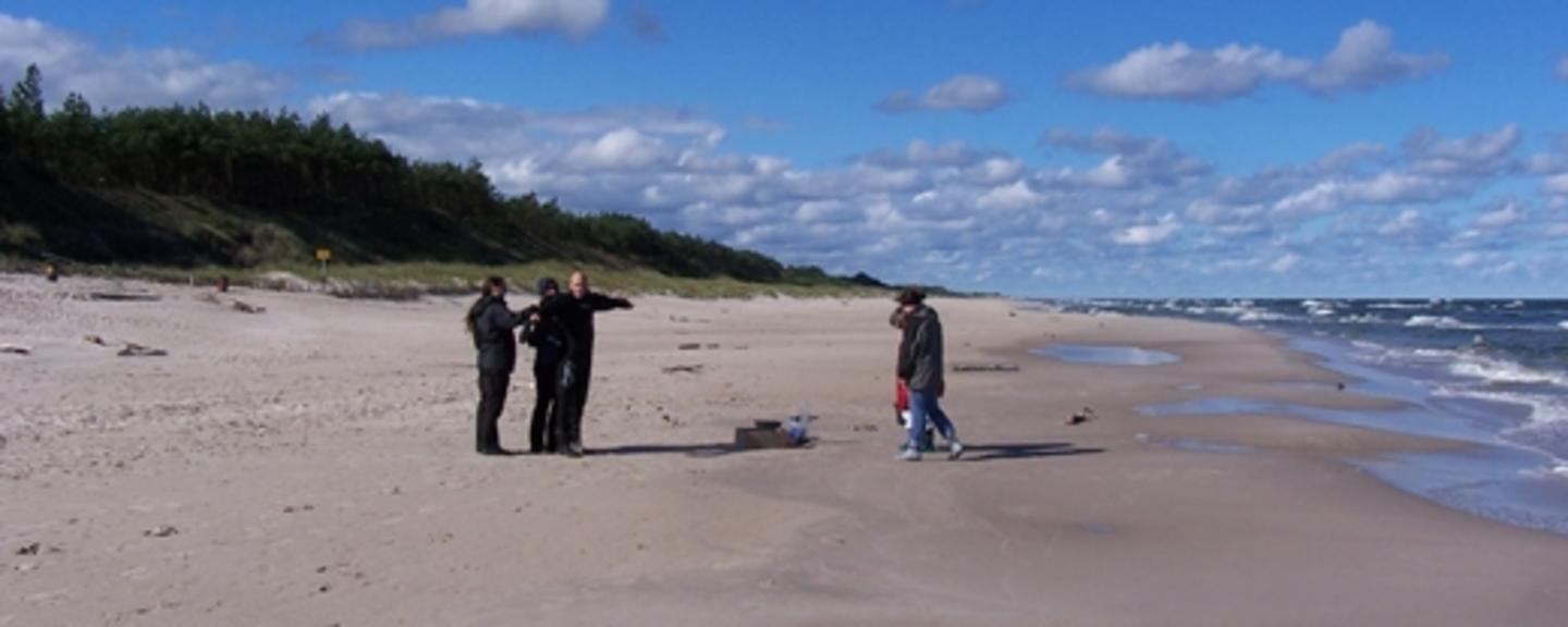
Imagine strolling southwards along the sandy Jūrkalne beach in Latvia in the middle of summer. On the left hand side, a patchwork of forests and farmlands stretches across the landscape. On the right hand side, some fishermen are heading to the shore with the catch of the day. Seeing the latter cannot, however, be taken for granted.
Chemical weapons dating from World War 2 and the Cold War rest on the Baltic Sea's seabed. In addition, the Baltic Sea receives pollution from approximately 250 river systems, by leakages of nutrients from agriculture and from pollution related to increasing shipping activity. Combined with the relatively low rate of water exchange in the Sea, the marine biodiversity and especially the fish stock of the Sea are at risk. Some fish species are already threatened or extinct and the seabed contains several dead zones.
Severely polluted
The Baltic Sea is one of the most polluted seas in the world. Addressing this issue requires a concerted effort and broad cooperation. Last year the EU adopted the Baltic Sea Region Strategy, which aims at coordinating actions of the member states and regions within environment, maritime conditions and infrastructure. In February 2010, environment ministers from Denmark, Estonia, Finland, Latvia, Lithuania, Norway, Poland, Russia and Sweden met to determine how to save the Baltic Sea.
The EEA and Norway Grants support environmental projects in Estonia, Latvia, Lithuania and Poland, countries that all border the Baltic Sea. A total of 190 environmental projects, amounting to €136 million in grants, are supported. Many of these will indirectly benefit the Baltic Sea through reducing emissions of pollutants, while some directly aim at improving the water quality in the Baltic Sea.
Mapping ecosystem changes
One example is a Lithuanian-Norwegian research project that will map marine resources and water quality along Lithuania's 90 km coastline. There have been substantial developments along the coastline over the last few years. The project, which is carried out by the Coastal Planning and Research Institute at Klaipeda University in Lithuania in close collaboration with the Norwegian Institute for Water Research (NIVA) will determine recent ecosystem changes in order to provide the authorities and the surrounding industry with information on further management and sustainable use of the coastal area.
A Norway Grants marine resource mapping project also takes place in Estonia, where a marine chart will be made of 300 000 hectares along the coastline. The marine chart is not only essential to safe navigation, but also to inform fishermen about areas where they can deploy their nets without damaging the ecosystem. The new information will also lay the ground for drawing up new management plans for Natura 2000 protected areas along the Estonian coast.
Partnership project
Iceland, Liechtenstein and Norway also support the development of a collection of maps indicating the biologically most sensitive Polish marine areas, through a project run by the Institute of Oceanology at the Polish Academy of Sciences, together with NIVA and several Polish partners. "One of the key effects of the project, is the biological valorisation of Polish Marine Areas, based on seabed habitat mapping", project manager Jan Marcin Węsławski of the Institute of Oceanology says.
The developed maps show that the shallow Western branch of the Bay of Gdansk, which is the most degraded area on the Polish coast, is also the most biologically diverse and valuable. At the same time, the clean areas of the open coast are biologically more homogeneous and less vulnerable. Research Scientist Trine Bekkby at the partner institute NIVA emphasises the importance of this knowledge. "The mapping makes it possible to plan human activity with less negative effects on the environment", she says.
Photo: IOPAN.
