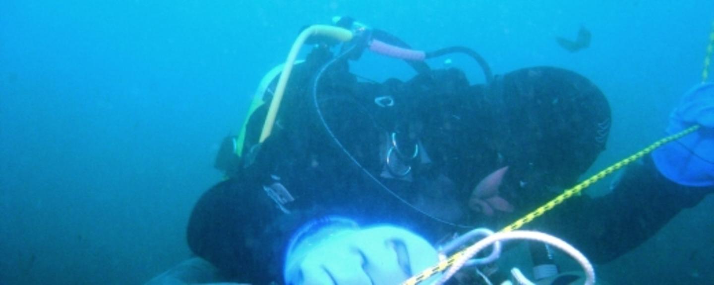
Working in close collaboration with the Norwegian Institute for Water Research (NIVA), the Coastal Planning and Research Institute (CORPI) at Klaipeda University is carrying out extensive surveillance of marine resources in order to determine ecosystem changes along Lithuania`s Baltic coast and in the Curonian Lagoon.
While research has been carried out in these areas before, traditional techniques have been unable to fully map the dynamic changes in the areas. With support from Norway Grants, CORPI will now purchase equipment to survey marine resources and water quality, using multi-frequency hydro acoustics, an automatic observation system and sediment image profiling tools. CORPI will also develop an ecological model and produce digital maps of the most valuable fish spawning and feeding grounds.
The 90 kilometer long Lithuanian coastline has been going through extensive developments over the last few years. The results of the project will be used to make informed decisions regarding further coastal development. Improved information about the marine areas and the local ecosystem will also support more effective commercial exploitation and environmental management of the areas.
"This project is also important also because it strengthens the ties between research and industry," said Dr Darius Daunys, who is in charge of the CORPI research team. "Through this project, we can provide information and knowledge required by both coastal administrations and the private sector," he continued. CORPI are now planning a workshop where they will demonstrate how their research and use of modern technologies can assist Lithuanian industries wishing to monitor and minimise their impact on the environment.
Read more about the project here.
Photo: S. Olenin (CORPI)
